Cross Domain

Cross Domain / Sea—Land—Air—Space

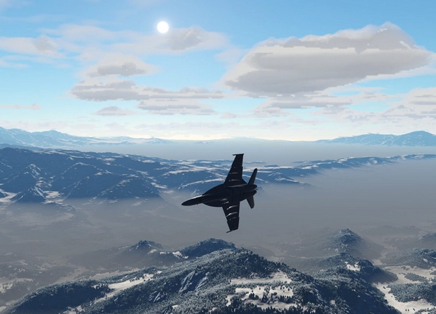
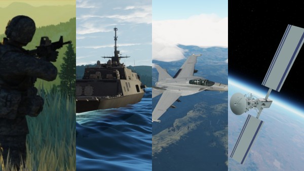
Previously, systems were tailored to match training in a specific domain and many specialised within that domain. Built on older game engines these systems needed to focus on a particular capability. Systems were built to support land based operations, air or sea but never all three. Many specialised further focusing on infantry minor tactics or armoured warfare. These systems had limited terrain areas and couldn’t render visuals fast enough to support air operations, especially fast air flying nap of the earth.

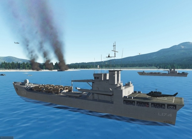
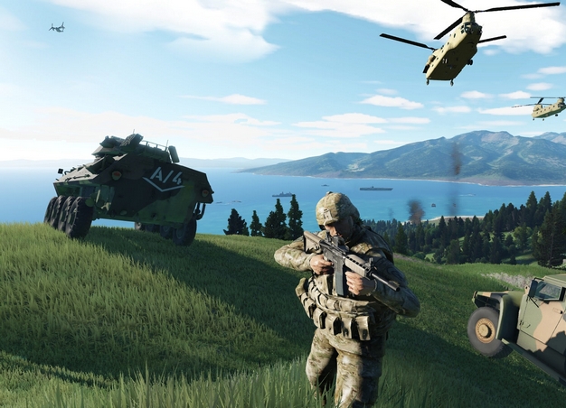
CSE is the first system that will enable users to develop scenarios and operate in all domains simultaneously and with equal capability.

Key to the success of any virtual environment is the quality and versatility of the visual representation of the real world it can generate, which in turn dictates the level of immersion that a system can deliver. Whether this is a 2D or 3D view the visual representation will be influenced by a number of features including visual quality, level of graphical detail, accuracy and realism. All of these issues will have varying importance depending on the application or user-type being supported.

The versatility of Calytrix CSE to operate across all domains provides significant advantages. It provides a visually stunning 3D landscape for a broad cross-section of applications; from detailed infantry based applications that require a high level of ground detail to fast-air simulators that demand an unlimited view out to the horizon. The system also supports a number of 2D applications including various map types and human machine interfaces (HMI). In addition, Calytrix CSE provides an open development environment that allows new and different visual representations and HMIs to be quickly developed and integrated into the synthetic world.

Core to the CSE offering is the delivery of a stunningly rich and very complex visual representation of the entire planet. By default the CSE system is delivered with 30m resolution data for the entire globe, which is then rendered in real-time using a cutting-edge deterministic fractal engine to deliver a visually stunning and highly realistic representation of the entire Earth at any altitude, from orbit to a 15cm level of detail. The user is free to move between sub-surface, sea, land, air and even space in the one visual representation, with the system seamlessly delivering visuals down to individual blades of grass on land, while at the same time supporting unlimited line of sight to the horizon for air and space applications.